
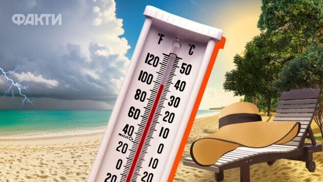
The weather in Ukraine next week will be unstable. Temperature, wind and atmospheric pressure will change under the influence of alternating fronts and high pressure zones.
Natalia Ptukha, a forecaster at the Ukrainian Hydrometeorological Center, exclusively told Fakty ICTV about this.
What will the weather be like in Ukraine next week
According to the weather forecaster, a cold atmospheric front will move from northwest to southeast across Ukraine from July 5. This will cause a drop in air temperature.
Now watching
– Since atmospheric fronts will periodically alternate with the area of high pressure, this will cause fluctuations in wind direction and temperature. This evening, even this afternoon in the western regions, and in the evening in the Kyiv region, that is, the northern and partly central regions, we will feel it, – explained Ptukha.
Later, the front will move further to the southeast, and on July 6-7, the weather will be formed by a high pressure field.
At night the air temperature will be 10-18°C, during the day 23-28°C, but in the south it will remain hot – 28-33°C.

Photo: Getty Images
When will it be hottest?
On July 7, the air temperature in different regions will be 33-34°C in most regions, and in the south and in some central regions – stable heat of 35-37°C.
Thunderstorms are expected in the west and north on July 8, but the heat will persist.
— Temperatures will reach 35-38°C, especially in the southern and central regions. A gradual decrease is possible from July 9, — the forecaster added.
What will be the temperature of the water?
The sea water temperature is now 17 degrees.
Of course, given such high temperatures, it will warm up quickly, Ptukha noted.
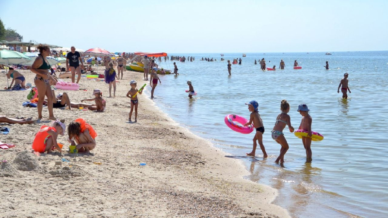
Photo: UNIAN
In the rivers of the Kyiv region the water is warmer – 20-22°C.
Overall, the next week will pass without extreme natural disasters, Natalia Ptukha concluded.