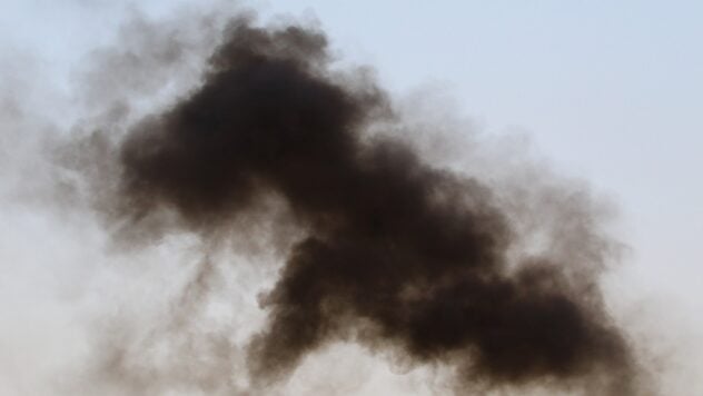
In temporarily occupied Crimea, a fire occurred near the airfield.
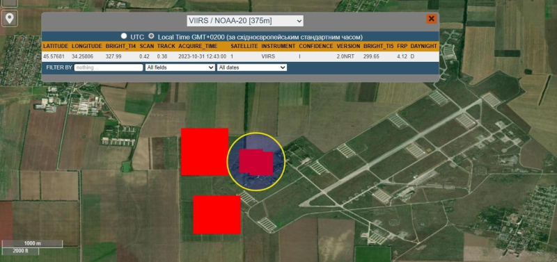
This follows from FIRMS satellite images (NASA), which track locations with a sharp increase in temperature across planet Earth.
In the footage that was taken on October 31 at 12:43 and 13:23, you can see three main sources of fire. All of them are located in the area of the Veseloye airfield, which is north of Simferopol.
Currently watching
Note that FIRMS images may have a slight deviation in coordinates.

Photo: Satellite images FIRMS (NASA)
The satellite's fire detection system is configured to monitor fires in the area, so it is not yet possible to say unequivocally that something was burning at the airfield.
At the same time, researchers and observers who observe and analyze the Russian-Ukrainian war often use FIRMS satellite images to confirm attacks by one side or another, since after the “arrivals”, if a fire breaks out, or, for example, Russian warehouses explode with ammunition, this has a significant temperature jump that is monitored by satellite.
It should also be noted that a fire in the grass could also occur due to the likely scattering of debris or fragments, which could be caused by impacts.
Let us recall that the day before, on the night of October 30, the Ukrainian Defense Forces hit the Russian air defense systems on the western coast of the temporarily occupied Crimea.
Want to rest? Come to Facti.GAMES!

