
14
An interactive map with places of explosive objects has been launched on the State Emergency Service website/State Emergency Service
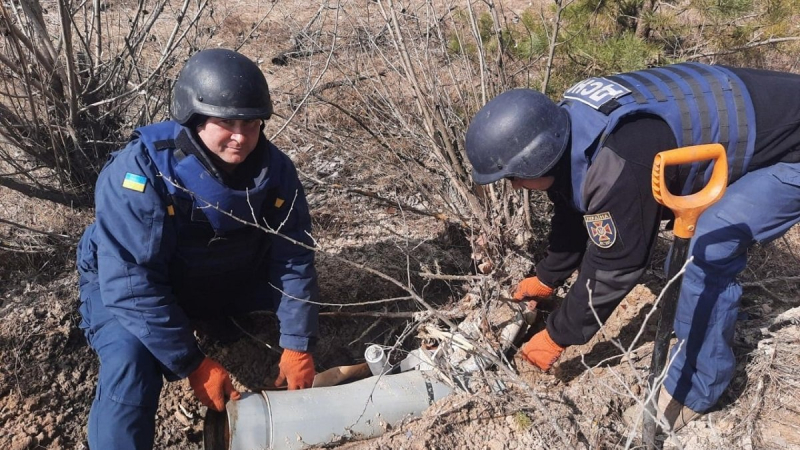
On the official website of the State Emergency Service, you can now track the detailed dynamics of demining work every day. We are talking about dangerous territories.
In particular, you can see there how many times mine clearance specialists went out. There is also the area of cleared territories and the number of cleared explosive objects in each region.
How to ask for help
If a person has found an explosive object, you need to file the corresponding application to the site.
Then you should track its status of execution. This can be done through the page with an interactive map on the site.
You can also call the rescuers at 101.