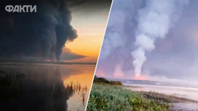
After the Ukrainian drone attack on ammunition depots in the Russian city of Toropets, satellite images of the aftermath appeared online.
Fire at ammunition depot in Toropets — satellite images
In the images from the Planet Labs satellite, which came into the possession of journalists from the Radio Liberty Schemes project, you can see the aftermath of the fire, which has been going on since the night of September 18 and is still going strong.
Satellite images show craters from 50 to 90 m in diameter from exploding shells.< /p>Currently watching
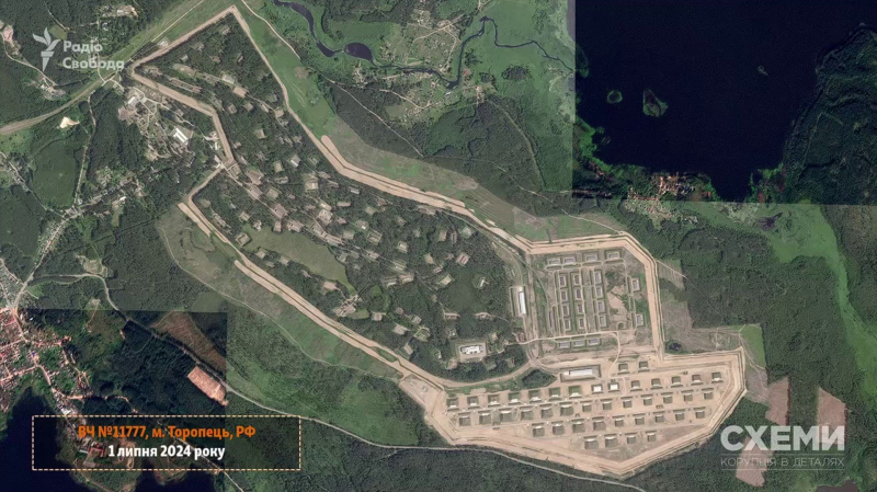
Photo: Schemi (Radio Liberty)
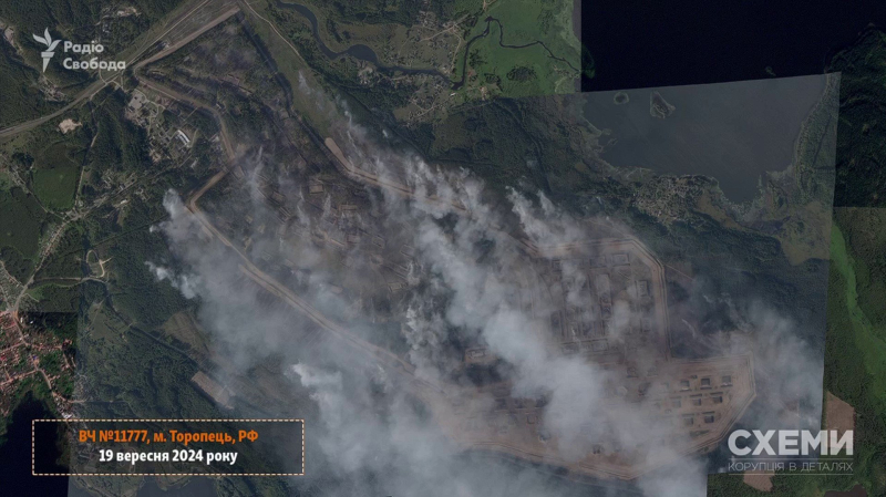
Photo: Schemi (Radio Svoboda)
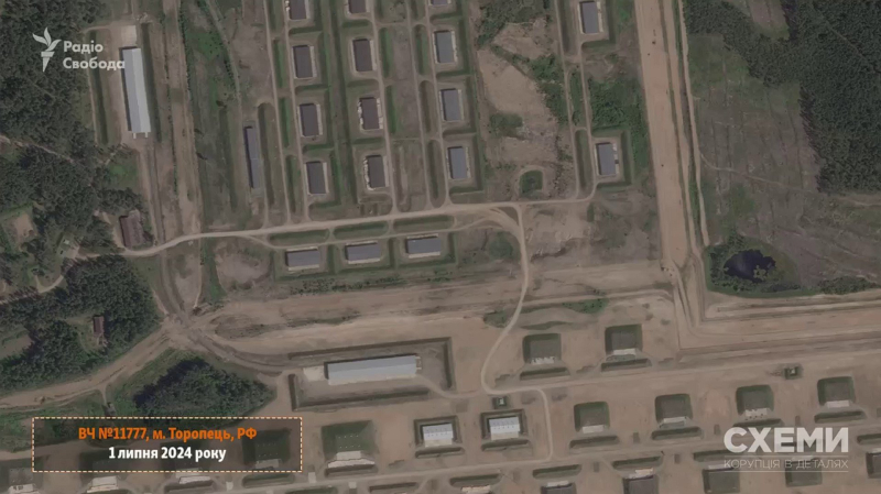
Photo: Schemi (Radio Svoboda)
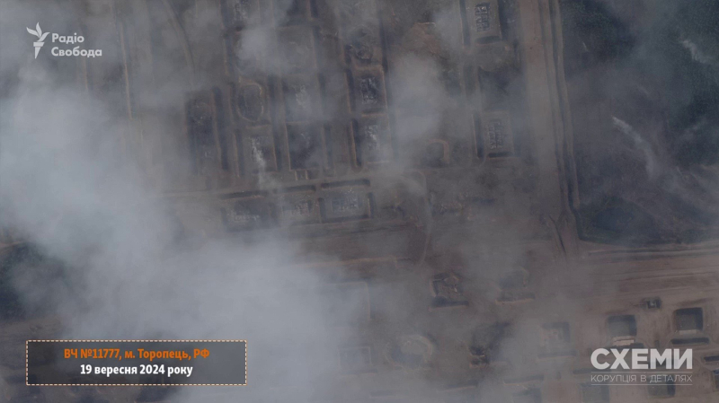
Photo: Schemi (Radio Liberty)
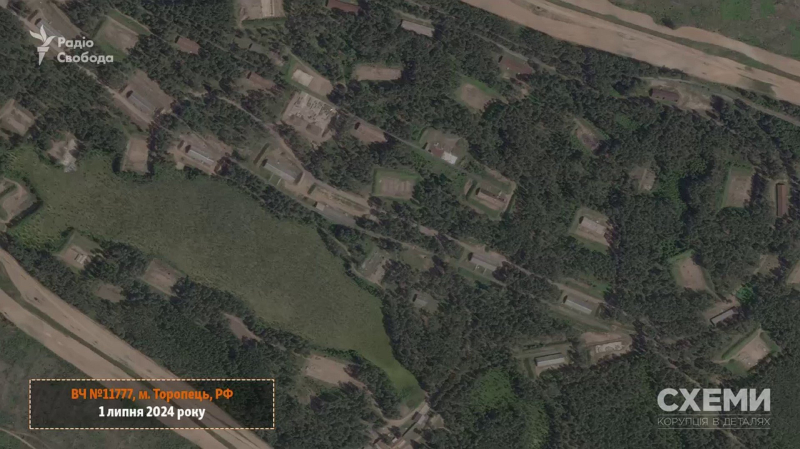
Photo: Schemi (Radio Svoboda)
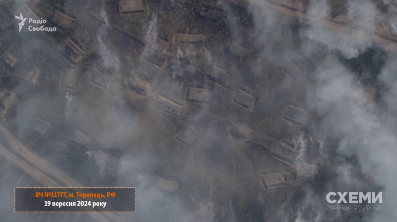
Photo: Schemi (Radio Liberty)
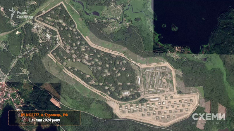
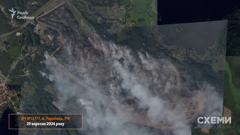
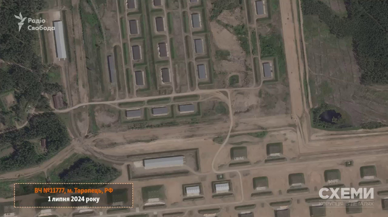
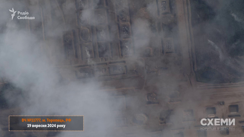
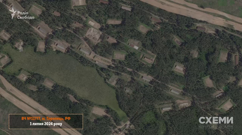
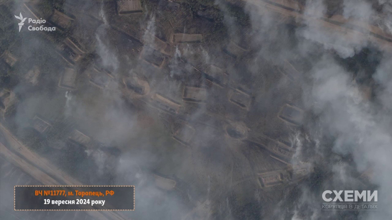
Photo: Schemes (Radio Liberty)
In Toropets, Tver Region, there was a warehouse of the Main Missile and Artillery Directorate of the Russian Ministry of Defense on the territory of military unit No. 11777.
On the night of September 18, the warehouse ammunition in Toropets, Tver region, Russian Federation began to burn and detonate after an attack by drones from the Security Service of Ukraine, the Main Intelligence Directorate of the Ministry of Defense and the Special Operations Forces.
As it became known, the Russian occupiers stored missiles for the Iskander and Tochka-U, as well as guided aerial bombs (KABs), which were used to shell Ukrainian cities.

